Frequently asked question
What are the View options available in Site Scan Manager for ArcGIS?
Site Scan Manager for ArcGIS provides four different views to analyze results. Each one of them works with a different type of file and focuses on different information.
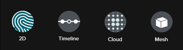
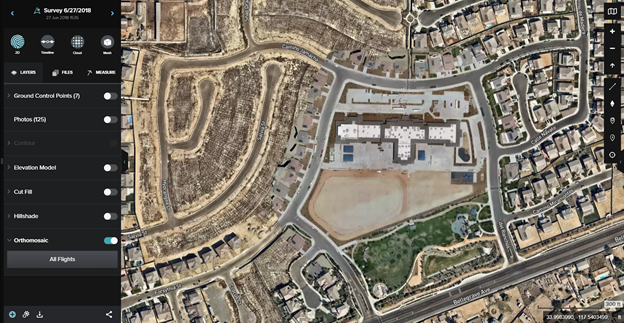
2D viewer
This view works with TIFF files, such as the orthomosaics, digital elevation models (DEMs) or digital terrain models (DTMs), and also has the ability to enable elevation data using the elevation model, cut or fill tool, hillshade, as well as add measurements tool, overlays and ground gontrol points (GCPs) to a project.
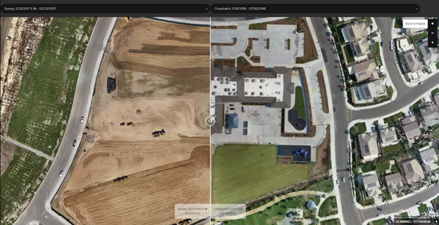
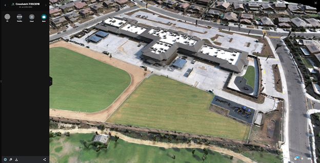
Timeline viewer
This view displays the maps on two different dates to compare changes over time. After selecting the Timeline view, two drop-down lists containing all the flights in the project are presented. Use these lists to change the flights to be viewed side-by-side.
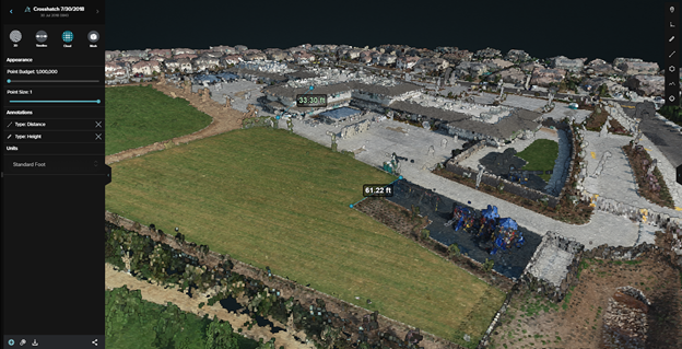
Cloud viewer
This viewer displays the point cloud file and allows navigation of the site in a 3D environment. Measurements can also be performed on this workspace, giving more accurate height measurements, and the ability to select a cross-section of the terrain and display its information (X, Y, Z) with the profile tool.
Mesh viewer
The Mesh view is the as-built view of the area; use it to move around and inspect the terrain and structures. It is also compatible with Virtual Reality equipment.
Article ID: 000023017
- Site Scan Manager for ArcGIS
Get support with AI
Resolve your issue quickly with the Esri Support AI Chatbot.


Discover more on this topic
Search for related information
Find training related to this topic
Explore ideas and give feedback
Get help from ArcGIS experts
Start chatting now