Frequently asked question
What are the ways to identify the center point in a cluster of point features in ArcGIS Pro?
A cluster of point features on a map can be condensed into a single point feature to facilitate the process of distribution analysis involving a large study area. In ArcGIS Pro, the Central Feature, Mean Center, and Median Center tools can be used to identify the center point in a cluster of point features.
Each tool uses different methods to identify a center point, returning different results. Depending on the purpose of a project, use one of the tools below to identify the center point in a cluster of point features.
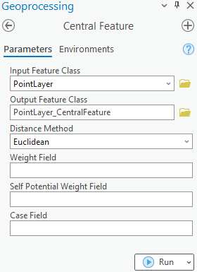
Central Feature
The Central Feature tool identifies the point feature with the smallest distance to all other features in a cluster. To measure the accumulated distance between features, either the Euclidean or the Manhattan distance can be specified when configuring the tool parameters. This tool is useful for finding a point feature located in a highly dense region (a point feature with the smallest distance to another). Refer to ArcGIS Pro: Parameters for more information on the Central Feature tool parameters.
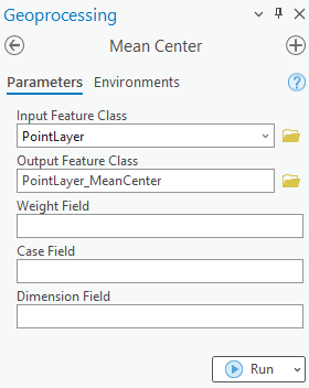
Mean Center
The Mean Center tool creates a new point feature by measuring the average x-, y-, and if available, z- coordinates of the clustered point features. This method considers all point features in the dataset and is highly influenced by outliers. This tool is useful to evaluate changes in the distribution over time or to compare the distributions of different types of features. Refer to ArcGIS Pro: Parameters for more information on the Mean Center tool parameters.
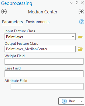
Median Center
The Median Center tool creates a new point feature that minimizes the Euclidean distance to all features in the dataset. In comparison with the Mean Center tool, the Median Center tool is less influenced by outlying features and therefore represents data best when the peripheral data must be neglected. Refer to ArcGIS Pro: Parameters for more information on the Median Center tool parameters.
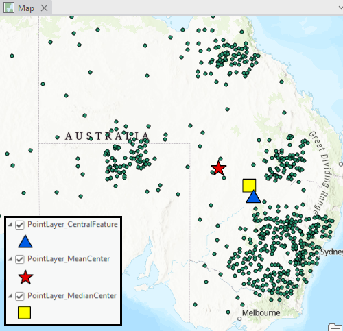
The image below demonstrates the spatial difference of the center points created in the cluster of point features using each tool. The center point created using the Mean Center tool, represented by the star symbol, is located towards the northwest as it accounts for all the peripheral point features on the map. In comparison, the center point created using the Median Center tool, represented by the square symbol, neglects the peripheral point features. The center point created using the Central Feature tool, represented by the triangle symbol, is located at the point feature with the smallest accumulated distance from the other point features.
Article ID: 000029891
- ArcGIS Pro 3 1
- ArcGIS Pro 3 0
- ArcGIS Pro 2 x
Get support with AI
Resolve your issue quickly with the Esri Support AI Chatbot.


Related Information
Discover more on this topic
Search for related information
Find training related to this topic
Explore ideas and give feedback
Get help from ArcGIS experts
Start chatting now