A to Z GIS | Explore this related guide, featuring updated terms and graphics and developed in coordination with Esri’s GIS Dictionary team.
Learn more about A to Z GIS
GIS Dictionary
Browse dictionary
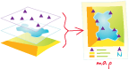
map
URL copiedShare URL
[spatial analysis]
A spatial representation of a location.
[cartography, symbology]
A collection of graphic symbols used to represent a place.
[visualization techniques]
A document used to display and work with geographic data. A map contains one or more layers and various supporting map elements, such as a scale bar.