A to Z GIS | Explore this related guide, featuring updated terms and graphics and developed in coordination with Esri’s GIS Dictionary team.
Learn more about A to Z GIS
GIS Dictionary
Browse dictionary
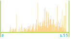
histogram
URL copiedShare URL
[visualization techniques, statistics]
A graphic display that shows the set of values in a dataset and the number of features with those values. It can be enhanced to also show the proportion of features that fall into each category. Often used to create range breaks for thematic maps.