PROBLEM
Unable to select graphics layer in a geoprocessing tool in ArcGIS Pro
Description
In ArcGIS Pro, graphics layers are used to display temporary shapes, text, and other visual elements for map markup and annotation. However, when attempting to use a graphics layer as input in a geoprocessing tool, the layer cannot be selected, as the tool does not recognize it as a valid input. This limitation prevents users from performing spatial analysis or creating features directly using graphics layer elements.
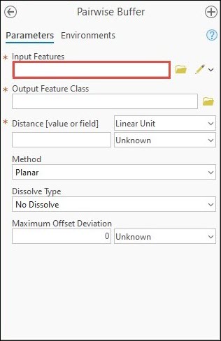
The Pairwise Buffer geoprocessing pane below shows that the graphics layer cannot be selected as the input feature for the tool.
Cause
This is expected behavior. Graphics layers are intended for simple visual annotations and do not have the spatial indexing required by geoprocessing tools, which rely on optimized spatial processing.
Solution or Workaround
To resolve the issue, convert the graphics layer into a feature layer using the Graphics To Features tool.
Article ID: 000035710
- ArcGIS Pro
Get support with AI
Resolve your issue quickly with the Esri Support AI Chatbot.


Related Information
Discover more on this topic
Search for related information
Find training related to this topic
Explore ideas and give feedback
Get help from ArcGIS experts
Start chatting now