A to Z GIS | Explore this related guide, featuring updated terms and graphics and developed in coordination with Esri’s GIS Dictionary team.
Learn more about A to Z GIS
GIS Dictionary
Browse dictionary
joining
URL copiedShare URL
[data conversion]
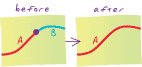
Connecting two or more features from different sets of data so that they become a single feature.
[data architecture]
Appending the fields of one table to those of another through an attribute or field common to both tables. A join is typically used to attach more attributes to the attribute table of a geographic layer.