PROBLEM
The Spatial Analyst toolbar is disabled although a raster layer is added
Description
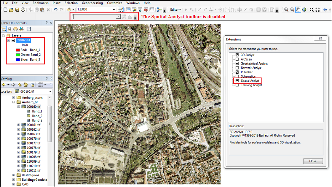
In the article Problem: Spatial Analyst and/or 3D Analyst toolbars are inactive (grayed out), the Spatial Analyst toolbar is disabled due to either the absence of a raster layer or disabled extension. However, there are instances wherein the Spatial Analyst toolbar is disabled although a raster layer is added and the Spatial Analyst extension is enabled. The image below shows the disabled Spatial Analyst toolbar although a .tif imagery layer is added to the map.
Cause
This is by design. The Spatial Analyst toolbar is disabled when a multiple-band raster is added to the map. A multiple-band raster comprises raster cells with more than one value in each cell, and tools in the Spatial Analyst toolbar are unable to operate on a cell associated to multiple values.
Solution or Workaround
The Spatial Analyst toolbar only appears when a single-band raster is added to the map, as both Create Contour and Create Histogram tools operate on a single band at a time. To enable the Spatial Analyst toolbar, drag each raster band separately onto the map. For more information on the Spatial Analyst toolbar, refer to Working with the Spatial Analyst toolbar.
The image below shows the Spatial Analyst toolbar enabled when raster bands are added separately.
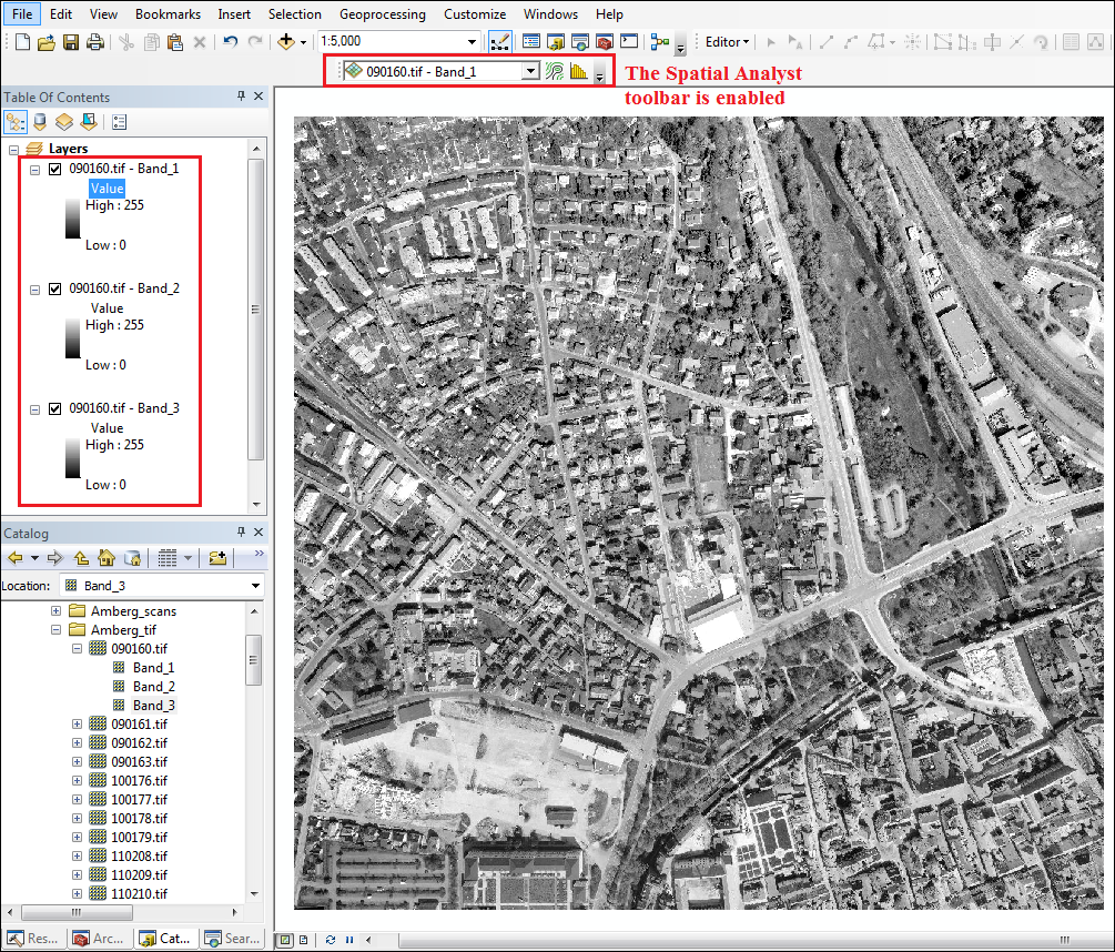
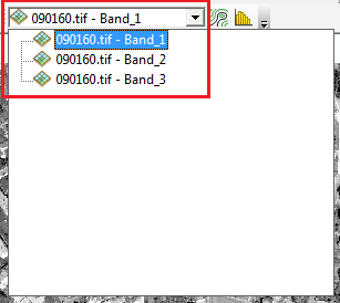
To run either the Create Contour or Create Histogram tool, select the desired band from the drop-down menu beforehand.
Article ID: 000022610
- ArcMap
Get support with AI
Resolve your issue quickly with the Esri Support AI Chatbot.


Related Information
Discover more on this topic
Search for related information
Find training related to this topic
Explore ideas and give feedback
Get help from ArcGIS experts
Start chatting now