HOW TO
Merge multiple triangulated irregular network (TIN) surfaces in ArcGIS Pro
Summary
In ArcGIS Pro, combining multiple triangulated irregular network (TIN) surfaces into a single surface is critical for precise and efficient spatial analysis. This action creates continuous terrain features, which improve visualization and provide a complete and seamless surface representation. Multiple TIN surfaces cannot be directly merged in ArcGIS Pro because they must first be converted to another dataset type. This article describes the workflow to merge multiple TIN surfaces in ArcGIS Pro.
Procedure
Convert the TIN surfaces to point feature classes
Note:
This workflow requires a 3D Analyst license.
- Open the ArcGIS Pro project.
- Export the nodes of the TIN dataset to a point feature class using the TIN Node tool. To find the geoprocessing tool, refer to ArcGIS Pro: Find a geoprocessing tool.
- Repeat Step 2 to convert the other TIN datasets to point feature classes.
- Merge the point feature layers using the Merge tool.
- Convert the merged point feature layer from Step 4 to a TIN dataset using the Create TIN tool.
Convert the TIN surfaces to raster datasets
Note:
This workflow requires a 3D Analyst license.
- Open the ArcGIS Pro project.
- Convert the TIN dataset to a raster dataset using the TIN To Raster tool. To find the geoprocessing tool, refer to ArcGIS Pro: Find a geoprocessing tool.
- Repeat Step 2 to convert the other TIN datasets to raster datasets.
- Merge the raster datasets using the Mosaic To New Raster tool. For the Number of Bands parameter, specify the number of output band based on the input raster's band.
- Convert the merged raster dataset from Step 4 to a TIN dataset using the Raster To TIN tool.
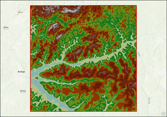
The map below displays the merged TIN surface created using the second solution.
Article ID: 000034450
- ArcGIS Pro 3 3
- ArcGIS Pro 3 2
- ArcGIS Pro 3 4
Get support with AI
Resolve your issue quickly with the Esri Support AI Chatbot.


Related Information
Discover more on this topic
Search for related information
Find training related to this topic
Explore ideas and give feedback
Get help from ArcGIS experts
Start chatting now