HOW TO
Create a space time cube from a CSV file in ArcGIS Pro
Summary
Creating a space time cube allows visualization and analysis of spatiotemporal data. The Create Space Time Cube tool can be used to structure time-stamped point features into a netCDF data cube and the Visualize Space Time Cube in 3D tool creates a visualization of the space time cube on the map.
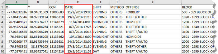
Note:
Creating a space time cube requires a Date field in the data table. Ensure the CSV file contains a date or time field.
Procedure
The following instructions describe how to create a space time cube from a CSV file in ArcGIS Pro.
- Add the CSV file in ArcGIS Pro.
- Right-click the CSV layer in the Contents pane and click Display XY Data.
- Export the layer generated to a feature class by right-clicking the CSV layer in the Contents and clicking Data > Export Features.
- Run the Project tool on the output feature class to convert the coordinate system to a projected coordinate system.
- Create a space time cube using the Create Space Time Cube tool with the feature class generated in step 4 as the input feature.
Note:
The Create Space Time Cube tool requires an ArcGIS GeoAnalytics Server license. A similar analysis can be done using the Create Space Time Cube By Aggregating Points tool in the Space Time Pattern Mining toolbox.
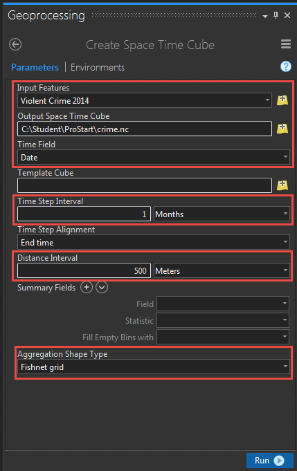
- Open the Create Space Time Cube tool.
- Select the input feature.
- Specify the location for the output space time cube.
- Select the time field from the drop-down list.
- Specify Time Step Interval and Distance Interval.
- Select the aggregation shape type and click Run.
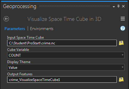
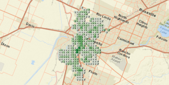
- Open the Visualize Space Time Cube in 3D tool and set the .nc file generated in step 5 as Input Space Time Cube. The space time cube is displayed on the map.
Article ID: 000017460
- ArcGIS Pro
Get support with AI
Resolve your issue quickly with the Esri Support AI Chatbot.


Related Information
Discover more on this topic
Search for related information
Find training related to this topic
Explore ideas and give feedback
Get help from ArcGIS experts
Start chatting now