A to Z GIS | Explore this related guide, featuring updated terms and graphics and developed in coordination with Esri’s GIS Dictionary team.
Learn more about A to Z GIS
GIS Dictionary
Browse dictionary
mask
URL copiedShare URL
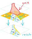
[visualization techniques]
In digital cartography, a means of covering or hiding features on a map to enhance cartographic representation. For example, masking is often used to cover features behind text to make the text more readable.
[spatial analysis]
A means of identifying areas to be included in analysis. Such a mask is often referred to as an analysis mask and may be either a raster or feature layer.