HOW TO
Merge DEM layers with gaps
Summary
In some cases, there are gaps between multiple DEM layers when viewed in ArcMap. (See image below.) When merging the DEM layers, the gaps must be filled.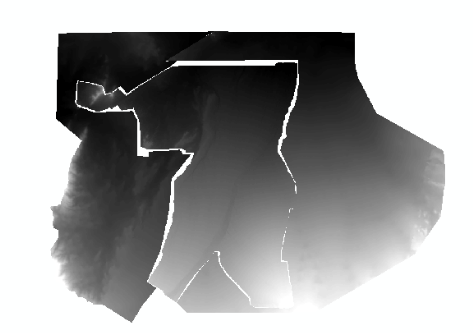
Procedure
There are two methods that can be used to merge the DEM layers with gaps: using the IDW tool or using the elevation void fill function. If the gaps between the rasters are large, it is recommended to use the elevation void fill function.
Using the IDW tool
Note:
The IDW tool requires a Spatial Analyst or 3D Analyst license.
- Merge the DEM layers.
- Use the Raster to Point tool to convert the DEM layers to point features.
- Use the Merge tool to combine the point feature layers in Step 1 (a).
- Use the IDW tool.
- Navigate to System Toolboxes > 3D Analyst Tools > Raster Interpolation > IDW.
- Use the merged layer in Step 1 (b) as the input point features.
- Select grid_code for the Z value field.
- Change the Output cell size by following the cell size of the DEM raster.
- Click OK. A new raster layer is created.
Using the Elevation Void Fill function
- In the Image Analysis window, select a raster layer, and click the Add Function
 button. This opens the Function Template Editor window.
 - Right-click the name of the raster, and click Insert Function > Elevation Void Fill Function.
- In the Raster Function Properties window, set the parameters for the input raster, short range IDW radius, and maximum void width. For more information on the Elevation Void Fill function parameters, refer to: Elevation Void Fill function.
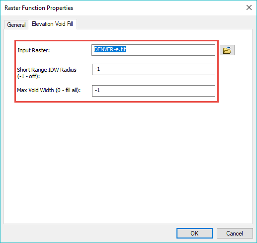
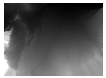
- Click OK. The DEM layers are merged.
Article ID: 000018483
- ArcMap
Get support with AI
Resolve your issue quickly with the Esri Support AI Chatbot.


Related Information
Discover more on this topic
Search for related information
Find training related to this topic
Explore ideas and give feedback
Get help from ArcGIS experts
Start chatting now