PROBLEM
The Extract Values to Points tool returns -9999 in the output attribute table
Description
The Extract Values to Points tool in ArcGIS Pro extracts and records the cell values of a raster in the attribute table of an output point feature class. In some cases, running the tool returns the value '-9999' instead of the correct raster cell values.
Cause
This issue occurs due to a mismatch between the spatial reference of the raster and the point feature class.
Solution or Workaround
To solve the issue, match the spatial reference of the raster and the point feature class using the Project tool.
- Determine the current spatial reference of the raster and the feature class.
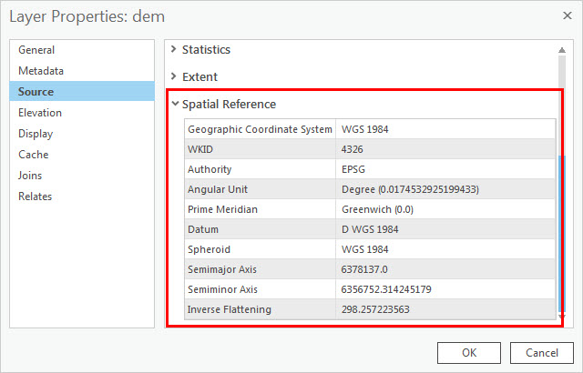
- In the Contents pane, right-click the raster layer and click Properties > Source. Expand Spatial Reference to display the spatial reference of the raster.
- Repeat Step 1(a) to determine the spatial reference of the point feature class.
- Project the point feature class to match the raster's spatial reference using the Project tool.
- For Input Dataset or Feature Class, select the point feature class.
- Specify a name and location for Output Dataset or Feature Class.
- For Output Coordinate System, select the raster layer from the drop-down list, or click Select coordinate system
 to select the coordinate system of the raster layer.
 - Optionally, select a geographic transformation, if required.
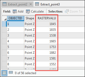
- Run the Extract Values to Points tool. The output attribute table displays the correct raster cell values.
Article ID: 000024403
- ArcGIS Pro 2 8 x
- ArcGIS Pro 2 7 x
- ArcGIS Pro 2 x
Get support with AI
Resolve your issue quickly with the Esri Support AI Chatbot.


Related Information
Discover more on this topic
Search for related information
Find training related to this topic
Explore ideas and give feedback
Get help from ArcGIS experts
Start chatting now