HOW TO
Add a grid layer in ArcGIS Online
Summary
Grids are used to display coordinates or divide areas in a map. Adding a grid layer in an ArcGIS Online web map is useful to provide a visual aid for determining the distance when zooming in or out. This article describes two possible workflows to add a grid layer in ArcGIS Online using the Gridded Reference Graphic widget in ArcGIS Web AppBuilder or the Create Fishnet tool in ArcGIS Pro.
Procedure
Use the Gridded Reference Graphic widget in ArcGIS Web AppBuilder
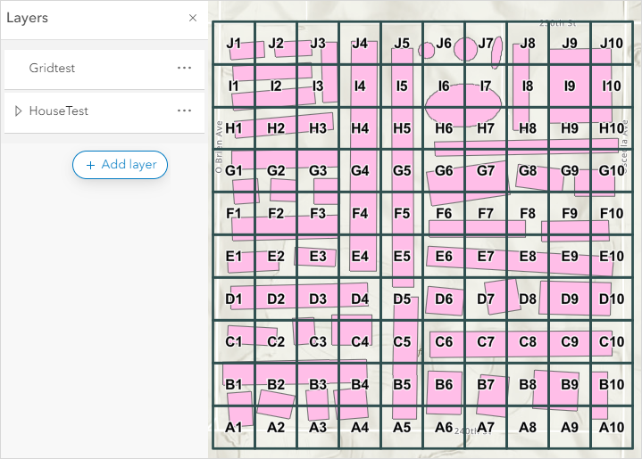
In ArcGIS Web AppBuilder, create a grid and publish it as a hosted feature layer in ArcGIS Online. Refer to ArcGIS Web AppBuilder: Use the Gridded Reference Graphic widget for instructions and more information. In this example, the grid layer is created by defining the area by dimension.
Use the Create Fishnet tool in ArcGIS Pro
In ArcGIS Pro, create a grid layer using the Create Fishnet tool and publish it as a hosted feature layer to ArcGIS Online.
- Launch ArcGIS Pro and log in to ArcGIS Online.
- In the Catalog pane, on the Portal tab, click My Content.
- Browse to and right-click the hosted feature layer. Click Add To New > Map.
- In the Geoprocessing pane, search for and click the Create Fishnet tool. Refer to ArcGIS Pro: Run a tool in the Geoprocessing pane for instructions.
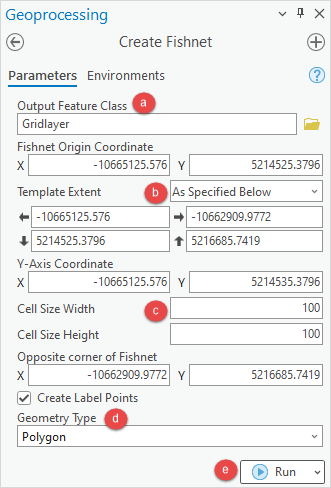
- In the Create Fishnet pane, configure the Parameters tab.
- Provide a name for Output Feature Class and click Browse
 to specify the location for the output feature class.
 - For Template Extent, select the hosted feature layer from the drop-down list. It automatically changes to As Specified Below when the hosted feature layer is selected.
- Specify values either for the Cell Size Width and Cell Size Height parameters, or the Number of Rows and Number of Columns parameters.
- Select the geometry type from the Geometry Type drop-down list. Refer to ArcGIS Pro: Parameters for more information. In this example, Polygon is selected.
- Click Run.
- Provide a name for Output Feature Class and click Browse
Note:
The Fishnet Origin Coordinate, Y-Axis Coordinate, and Opposite corner of Fishnet values are automatically specified when the hosted feature layer is selected.
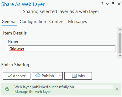
- Publish the grid layer as a web feature layer to ArcGIS Online. Refer to ArcGIS Pro: Share a web feature layer for instructions.
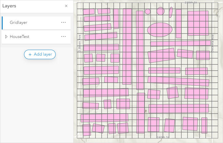
- In ArcGIS Online Map Viewer, add the grid layer to the web map. Refer to ArcGIS Online: Add layers to maps (Map Viewer) for instructions.
The grid layer is displayed in the ArcGIS Online Map Viewer web map.
Article ID: 000024951
- ArcGIS Web AppBuilder
- ArcGIS Online
- ArcGIS Pro 3 0
- ArcGIS Pro 2 8 x
- ArcGIS Pro 2 x
Get support with AI
Resolve your issue quickly with the Esri Support AI Chatbot.


Related Information
Discover more on this topic
Search for related information
Find training related to this topic
Explore ideas and give feedback
Get help from ArcGIS experts
Start chatting now