A to Z GIS | Explore this related guide, featuring updated terms and graphics and developed in coordination with Esri’s GIS Dictionary team.
Learn more about A to Z GIS
GIS Dictionary
Browse dictionary
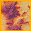
hillshade image
URL copiedShare URL
[visualization techniques]
An elevation dataset that has been enhanced to show changes in the terrain using light and shadows from a simulated light source. Also known as a shaded relief image.