操作方法
操作方法:在 ArcGIS Flight 中飞行 Freefly Astro
描述
在 2022 年 9 月发布的 ArcGIS Flight 中,Flight 应用程序增加了对 Freefly Astro 无人机的支持。 ArcGIS Flight Astro 集成为使用美国制造的无人机飞行、处理和分析无人机影像提供了一个基于云的端到端解决方案。
Astro 的当前限制
- 尚不支持视频和地理空间视频日志。
- 固件版本、电池序列号、负载模型和遥控器固件尚未记录在机群管理中。
- 请勿在飞行过程中将应用程序置于后台,否则可能会导致显示的照片计数和航路点完成进度不准确。
- 尚不支持 RTK。
解决方案或解决方法
Astro 入门
- 查看 Astro 文档。
- 确认 ArcGIS Flight 支持安装在 Astro 上的固件。 要更新固件,请参阅此 Astro 文档。
将 Site Scan Flight 连接到 Herelink 控制器
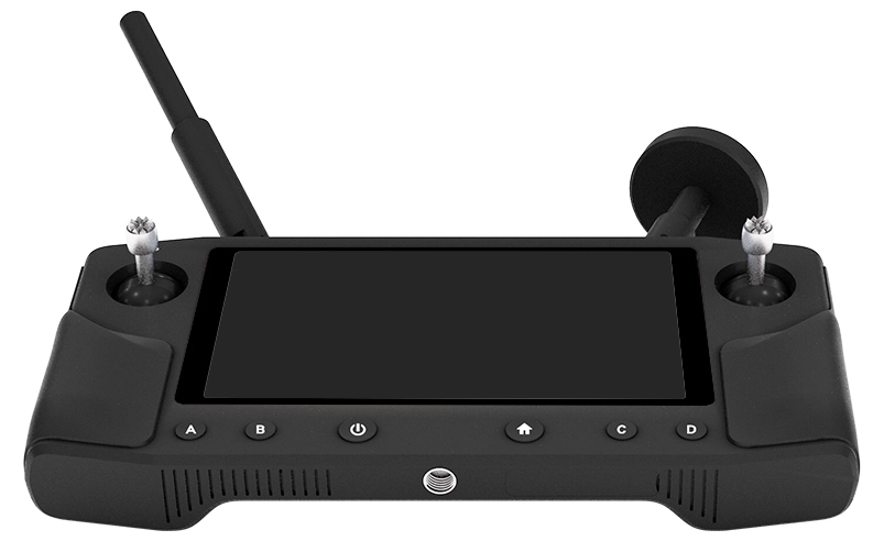
要使 ArcGIS Flight 应用程序与控制器和无人机进行通信,您必须启用控制器的热点并将您的 iPad 连接到控制器的 Wi-Fi 网络:
- 按住控制器上的电源按钮,直到屏幕亮起为止。 电源按钮位于 B(高度)和主页/返回按钮之间。
- 屏幕亮起后,可以通过按下屏幕的底部中间并向上滑动来解锁屏幕。
- 从屏幕顶部向下滑动,然后点击位于屏幕右上角的设置按钮,如下图所示。
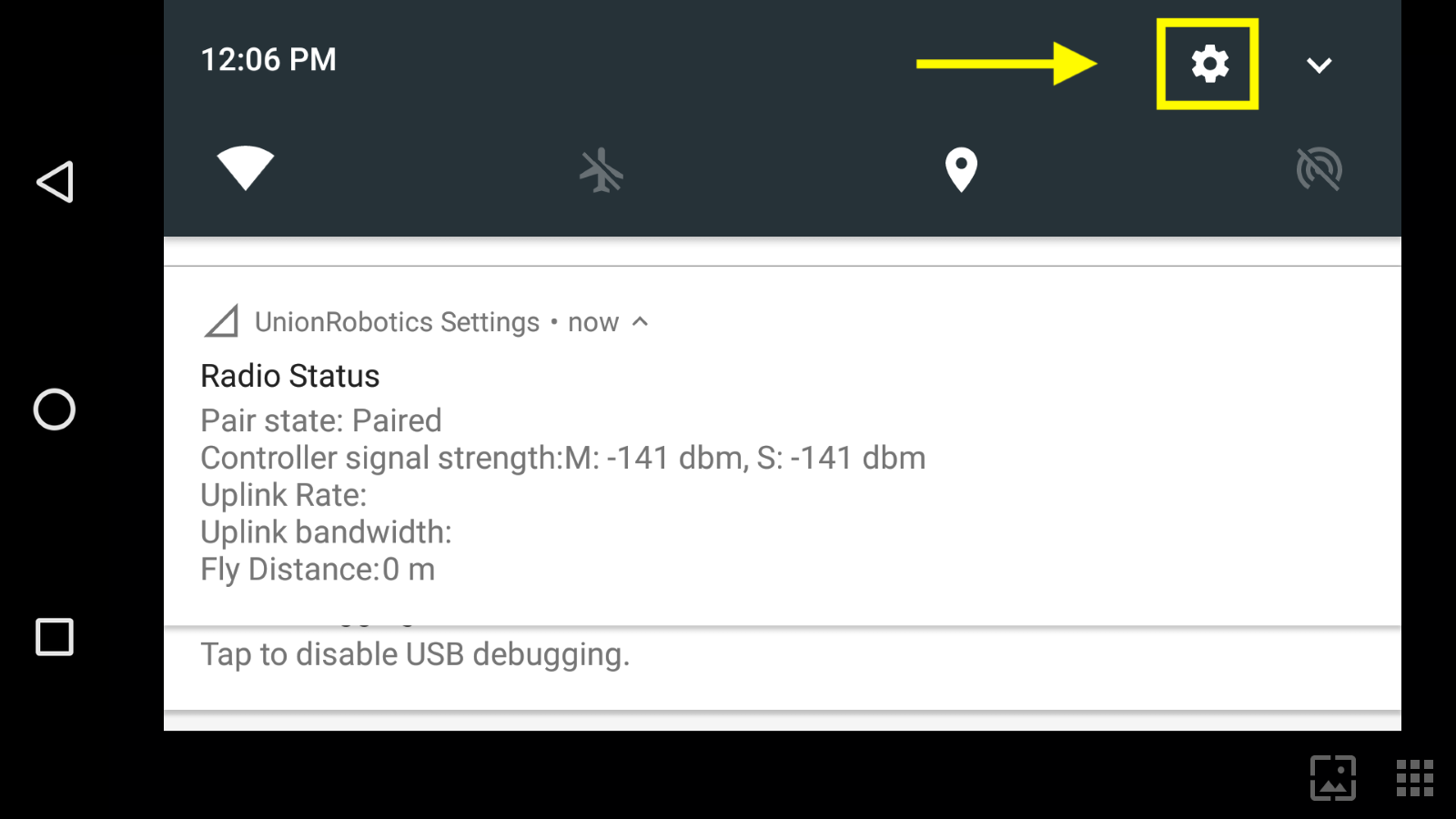
- 在“无线和网络”下,点击“更多”选项,然后选择“网络共享和便携式热点”。
- 启用便携式 Wi-Fi 热点开关以显示热点设置。
- 输入设置 Wi-Fi 热点设置。 为控制器网络定义名称和密码。
Note:
Make the network name easy to identify, especially if you have more than one drone flying at a time. Also, make sure to write down the network name and password since these are going to be used later during the setup.
- 转至您的 iPad 设置并启用 Wi-Fi。
- 连接到在步骤 6 中创建的 Herelink 控制器网络。
- 打开 Flight 应用程序并导航至主菜单。
- 从右上角的无人机列表中选择 Astro。
Note:
Make sure the drone is connected. You should see telemetry data from your drone on the status bar of the ArcGIS Flight app.
设置现已完成。 选择您喜欢的任务类型或者选择飞行计划并继续您的任务。
文章 ID: 000028336
获得人工智能支持
使用 Esri Support AI Chatbot 快速解决您的问题。


发现关于本主题的更多内容
Search for related information
Find training related to this topic
Explore ideas and give feedback
获取来自 ArcGIS 专家的帮助
立即开始聊天