固定对话栏 | 支持 | GIS 词典
A 到 Z 的 GIS |
探索这份相关指南,其中包含更新的术语和图形,并由 Esri 的 GIS 词典团队协作开发。
了解更多关于 A 到 Z 的 GIS 知识
GIS 字典
浏览字典
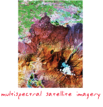
遥感影像
URL 已复制
共享 URL
[遥感]
从卫星、飞行器和无人机获得的影像,包括全色、雷达、微波、彩色和多光谱影像。
另请参阅
多光谱影像
像素
卫星影像
传感器