CÓMO
Fusionar varios datasets ráster en un dataset ráster nuevo en ArcMap
Resumen
Esri recommends preserving the original raster datasets wherever possible, so the Mosaic tool and the Mosaic To New Raster tool with an empty raster dataset as the target dataset are the best choices to merge raster datasets. The Mosaic tool is used to mosaic multiple input rasters into an existing raster dataset. The existing raster dataset can be empty or it can contain data. The tool is used to merge rasters that are adjacent and have the same cell resolution and coordinate system. Similar to the Mosaic tool, the Mosaic To New Raster tool is used to mosaic multiple input raster datasets. However, unlike the Mosaic tool, the Mosaic To New Raster tool saves the output mosaic in a new empty raster dataset that it creates on the fly.
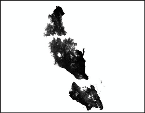
This article provides instructions to merge multiple raster datasets into a new raster dataset using the Mosaic To New Raster tool in ArcMap. The following image demonstrates the raster datasets to be merged into one raster dataset.
Procedimiento
To merge two or more raster files using the Mosaic To New Raster tool, follow the steps below.
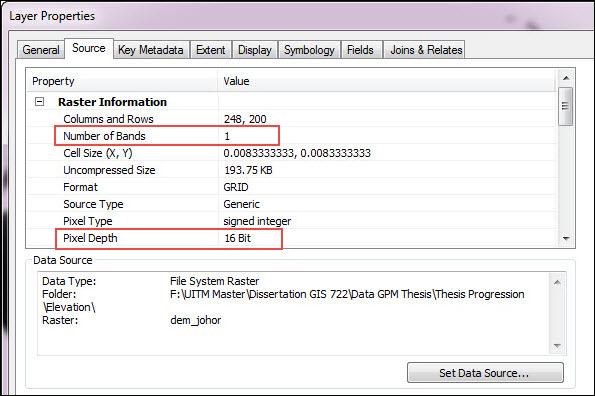
- Determine the number of bands and pixel type of the raster files. (Right-click Table Of Contents, click Properties and the Source tab.) The inputs must have the same number of bands and same bit depth.
- Open the Mosaic To New Raster tool by navigating to ArcToolbox > Data Management Tools > Raster > Raster Dataset.
- Insert the raster files.
- Select the output location.
- Specify a name and extension for the output.
- Specify the pixel type.
- Specify the number of bands.

- Run the tool.
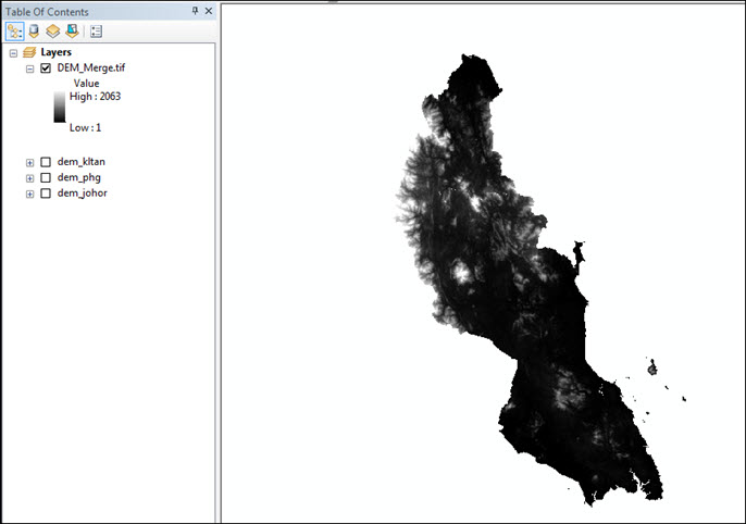
The following image shows the output of a merged raster:
Note:
This tool may take a while to run depending on the resolution of the images and their sizes.
Id. de artículo:000015258
Obtener ayuda de expertos en ArcGIS
Descargar la aplicación de soporte de Esri
Información relacionada
Descubrir más sobre este tema
Search for related information
Find training related to this topic
Explore ideas and give feedback