Frequently asked question
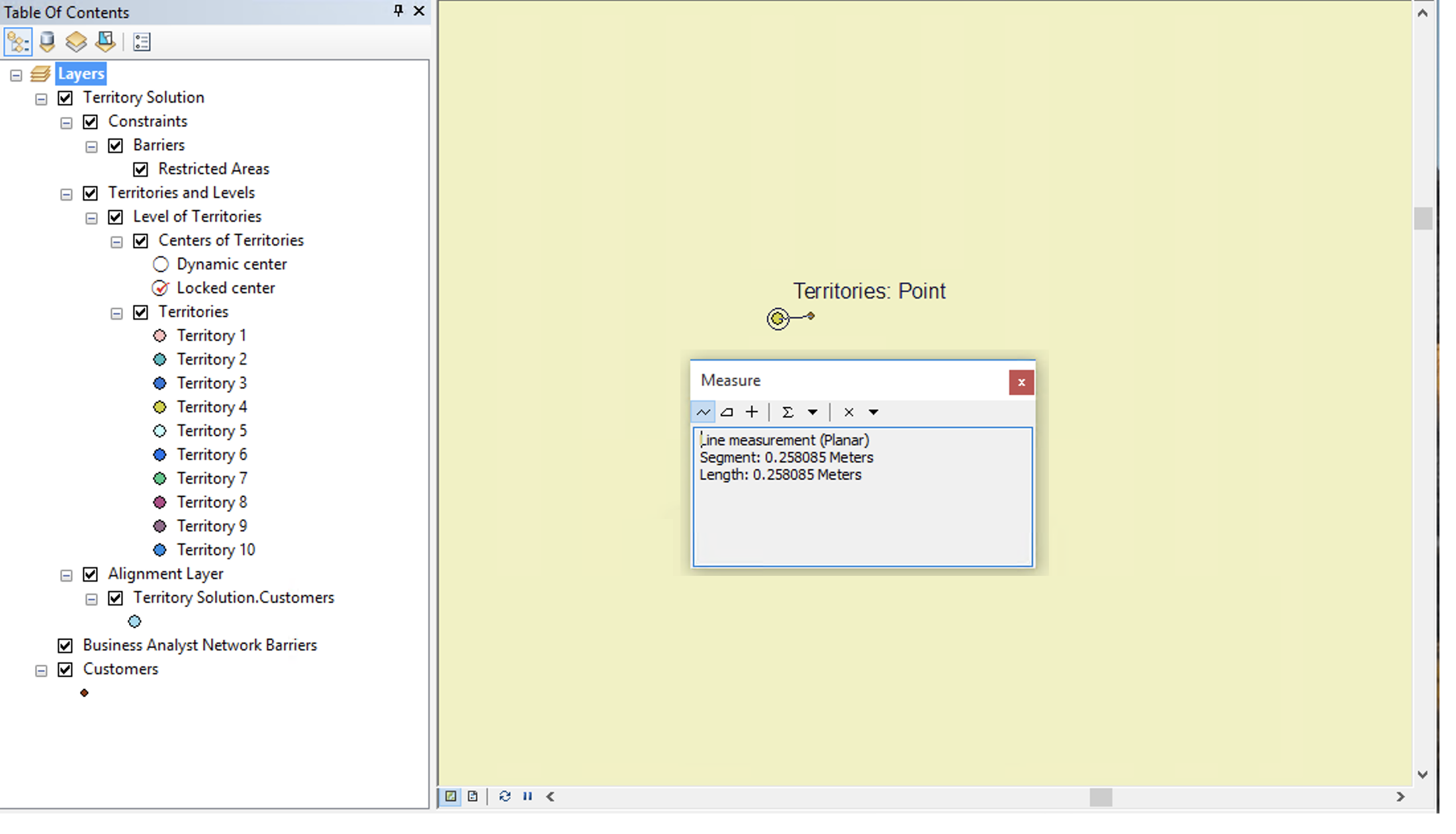
Why are the locations in the territory solution offset compared to the input layer when creating a point-based territory solution?
Answer
The offset in the point location in the territory solution compared to the original input layer is due to the use of a Territory Index for faster display performance. The Territory Index uses decreased precision to reduce index size and memory consumption but allows for faster display. The decreased precision is only applied to the Territory Index. Alignment layer geometries are not affected.
Article ID:000019914
Software:
- More Products
Get help from ArcGIS experts
Download the Esri Support App
Discover more on this topic
Search for related information
Find training related to this topic
Explore ideas and give feedback