PROBLEM
Unable to save a raster with NoData values
Description
When using the Identify tool on the raster image, although all the raster cells are visible, some raster cells with NoData cannot be saved in ArcMap. A raster cell with the NoData value represents a location with either no information or insufficient information about the characteristics of the location.
Cause
Rasters store information in pixels, and hence, drawing every pixel may consume more time. When a map is exported, ArcMap creates raster pyramids, which are downsampled versions of the original data and stored in an .ovr file to improve drawing times. However, when raster pyramids are created for the original image, and the image is clipped but the pyramids are not updated, the underlying data becomes corrupted or deleted.
Solution or Workaround
Follow the instructions provided to save rasters with NoData values.- In ArcMap, click the Full Extent icon
 on the Tools toolbar to view all the rasters in the data frame.
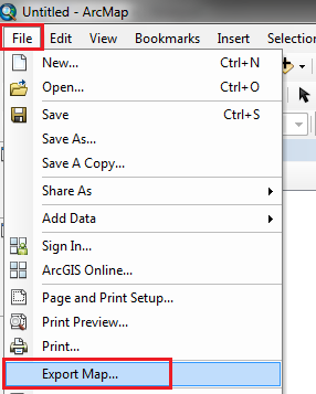
 - On the main menu, click File > Export Map.
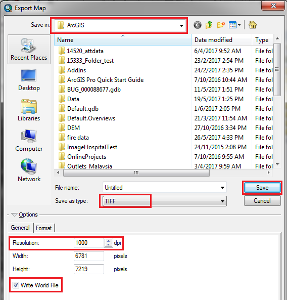
- In the Export Map window, select the location to save the file, type in a name, and under Save as type, select TIFF.
- In the Options section, on the General tab, set the desired resolution. 1000 dpi is a good starting resolution, however try changing the resolution values to get the best output.
- Check the Write World File option, and click Save.
Article ID:000015993
- ArcMap
Get help from ArcGIS experts
Download the Esri Support App
Related Information
Discover more on this topic
Search for related information
Find training related to this topic
Explore ideas and give feedback