HOW TO
Get parameters for the Export Map Image request in REST for a map service with dynamic layers
Summary
It is possible to allow clients of the server, such as the ArcGIS Web APIs, to dynamically change the layer appearance and behavior of the map service when publishing a map service to the ArcGIS Server site.
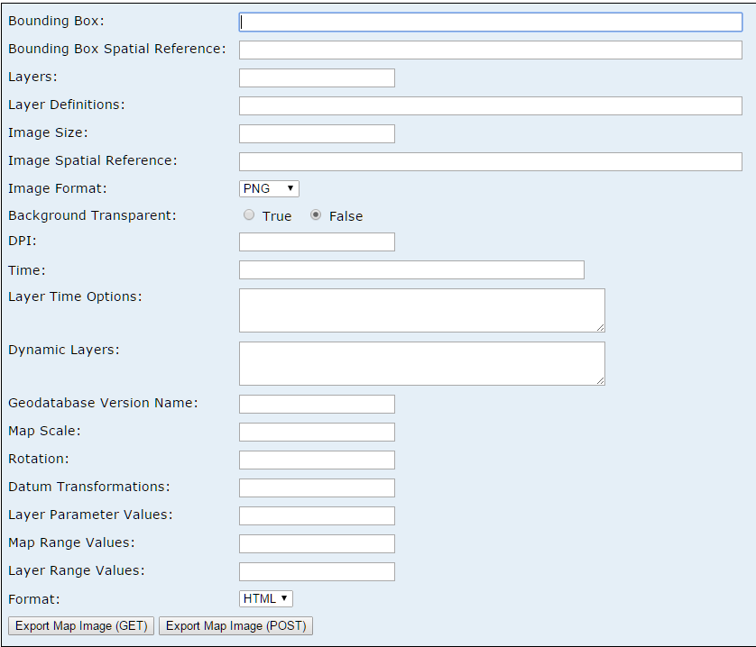
Dynamic layer-enabled services within custom applications and test requests at REST allow users to preview the application. This can be done with the Export Map function. However, to perform the action, users are prompted to input parameters before submitting the request.
Procedure
To get the values for the parameters, modify the service in the ArcGIS Online Map Viewer and retrieve the final values from the browser's Developer Tools. Follow the steps below:
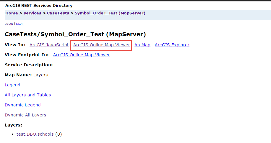
- In the REST page of the map service, select ArcGIS Online Map Viewer to view the map.
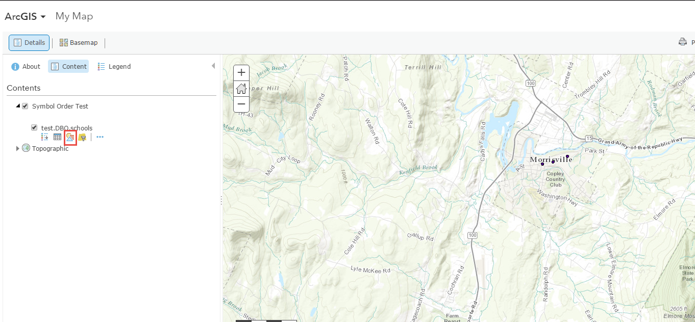
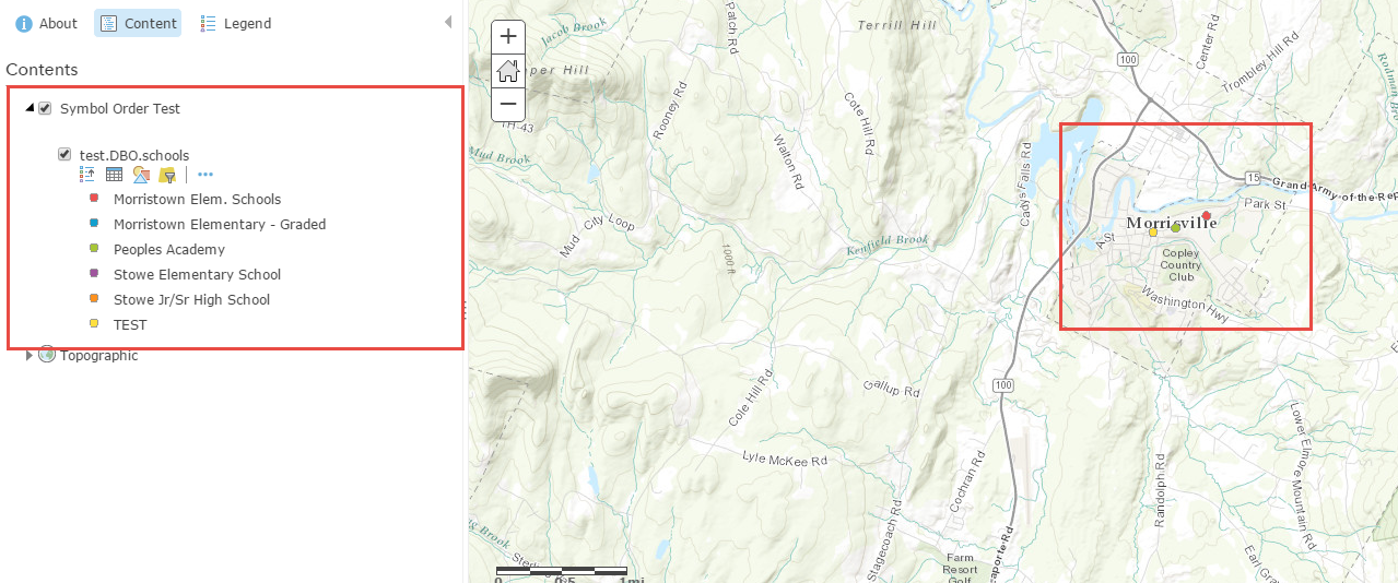
- In the Contents pane, if necessary, modify the appearance of the service, such as changing the style.
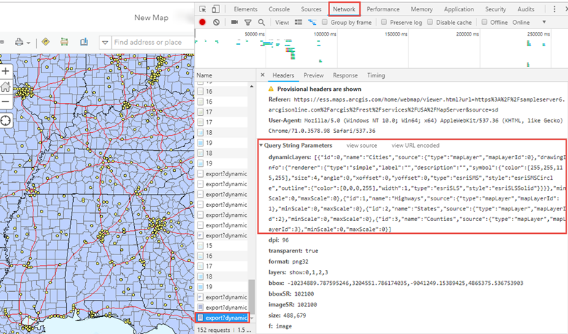
- Once the service is formatted as desired, open the browser's Developer tools and click the Network tab.
Note:
To open the Developers tools in Google Chrome, click the Customize and control Google Chrome icon (three horizontal bars in the upper right corner) and click More tools > Developer tools.
- Pan or zoom around the map to the desired area. The list of requests is populated.
- Click the export request.
- In the Headers tab, navigate to the Query String Parameters section. This section has most of the parameters required to perform a REST request for Export Map Image (POST).
Article ID: 000015441
- ArcGIS Online
- ArcGIS Server
Get support with AI
Resolve your issue quickly with the Esri Support AI Chatbot.


Related Information
Discover more on this topic
Search for related information
Find training related to this topic
Explore ideas and give feedback
Get help from ArcGIS experts
Start chatting now