HOW TO
Extract features from lidar data in ArcGIS Pro
Summary
Lidar points stored in LAS datasets can be extracted as features to offer significant information for further analysis. ArcGIS reads LAS files natively, providing access to lidar data without the need for data conversion or import.
Procedure
These instructions describe how to extract lidar points as features from a lidar dataset in ArcGIS Pro. In this example, ground point data is extracted as polygon features.
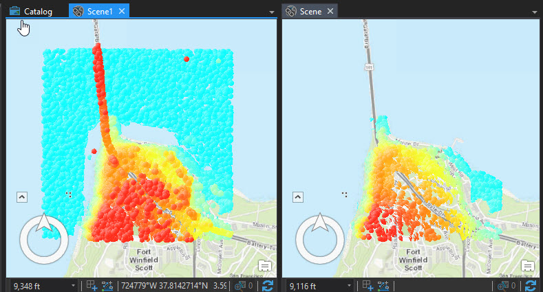
- Add the LAS dataset to a scene or map in ArcGIS Pro.
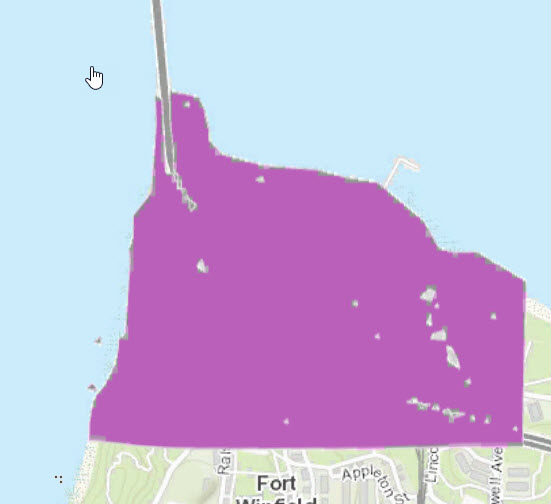
- In the Contents pane, right-click the lidar data, and navigate to Properties > LAS Filter > Ground. The resulting image only displays ground lidar points.
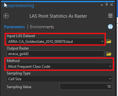
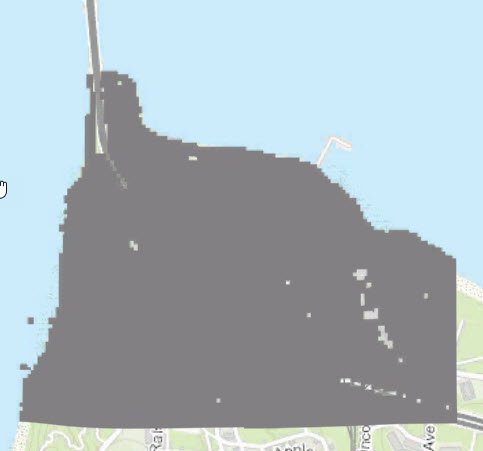
- Run the LAS Point Statistics As Raster tool to convert the LAS dataset into a raster dataset with the parameters specified as below:
- Drag the layer from the Contents Pane into the Input LAS Dataset field of the tool.
- For the Method parameter, select Most Frequent Class Code.
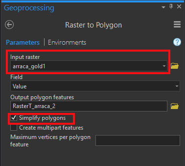
- Run the Raster to Polygon tool to convert the raster dataset into feature polygons. Set the parameters as follows:
- For Input raster, select the output from Step 3.
- Check Simplify polygons.
Article ID: 000016671
- ArcGIS Pro
Get support with AI
Resolve your issue quickly with the Esri Support AI Chatbot.


Related Information
Discover more on this topic
Search for related information
Find training related to this topic
Explore ideas and give feedback
Get help from ArcGIS experts
Start chatting now