PROBLEM
The World Imagery WayBack app basemap does not show the correct imagery layer when added to ArcMap 10.8
Description
It is possible create a web map using the World Imagery Wayback app as described in the Esri Community blog Use World Imagery Wayback
One can view the basemap and/or web map in the ArcGIS Online Map Viewer, and ArcGIS Pro displays the historical imagery as expected, however adding this layer to ArcMap does not connect to the historical imagery, but the latest imagery instead.
Solution or Workaround
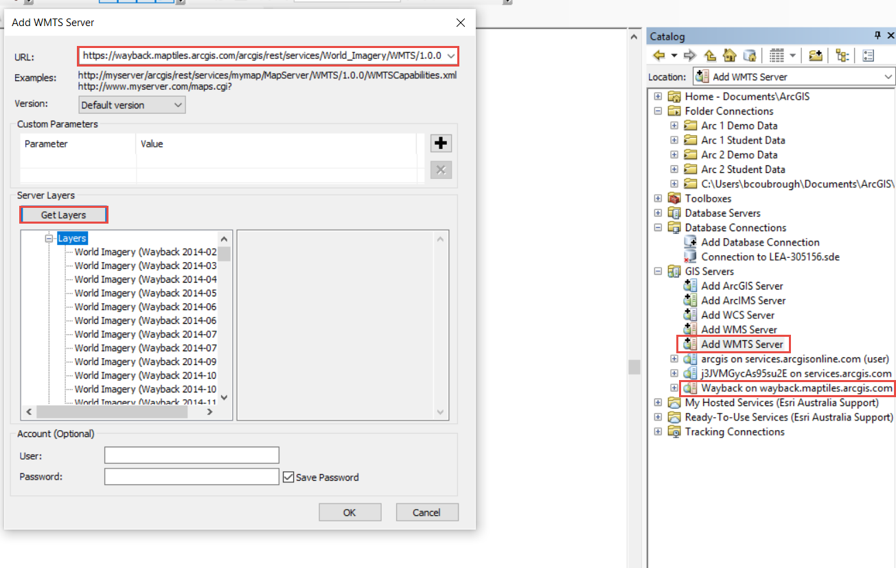
Connect to the Wayback Imagery with a WMTS connection in ArcMap:
- Open a new or existing map document in ArcGIS Desktop.
- From the Catalog, expand GIS Servers and double-click Add WMTS Server.
- In the Add WMTS Server Connection dialog, enter the following server URL and click OK:
https://wayback.maptiles.arcgis.com/arcgis/rest/services/World_Imagery/MapServer/WMTS/1.0.0/WMTSCapabilities.xml
- Click Get Layers, and click OK.
- In the Catalog window, expand GIS Servers and the Wayback server should be listed.
- Double-click the Wayback server twice to open and view the full list of available layers as shown in the following image.
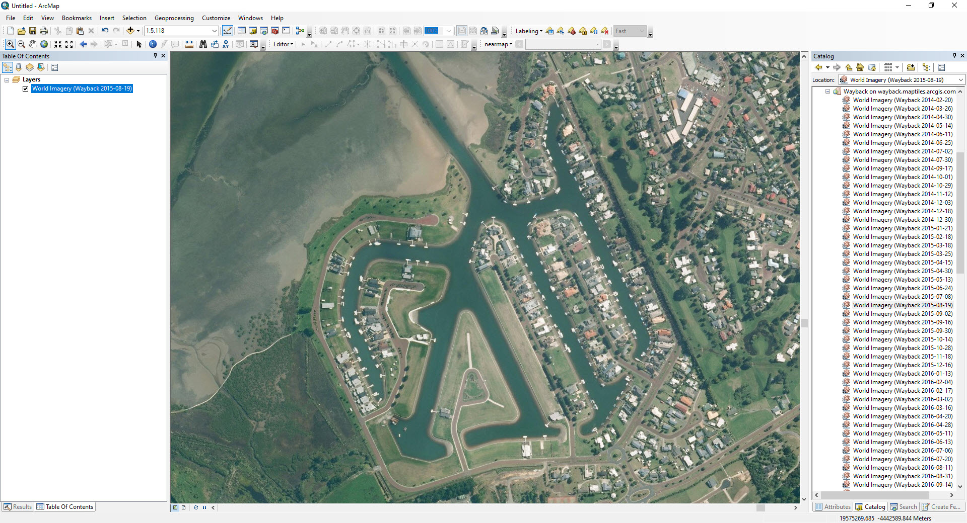
- Drag and drop the World Imagery from the desired date into the map frame.
- The selected version of World Imagery is now loaded and ready for use. Additional layers can be added to the same map as needed.
- Save the map to save the server connection and the full list should always be available for selection and loading into additional Wayback layers.
Article ID: 000023200
- ArcMap 10 8
Get support with AI
Resolve your issue quickly with the Esri Support AI Chatbot.


Related Information
Discover more on this topic
Search for related information
Find training related to this topic
Explore ideas and give feedback
Get help from ArcGIS experts
Start chatting now