PROBLEM
Reprojecting a raster layer results in areas with NoData raster values
Description
The Project Raster tool creates a raster with a projection that is different from the input raster. In some instances, the tool creates output rasters with areas containing NoData values.
Cause
Raster image files in TIFF and JPG formats are always rectangular. When a TIFF or JPG raster image is reprojected using the Project Raster tool, the output image is tilted to the pixel grid. This causes the edge of the rasters to be filled with the pixel values of (0,0,0), as shown in the following image: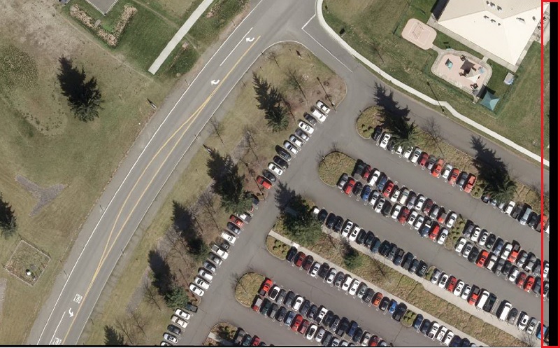
Solution or Workaround
Use one of the following options to resolve this issue.
Note:
The solutions documented below require an ArcGIS Desktop Standard or Advanced license.
-
Change the raster image to a file geodatabase raster, which does not have to be rectangular. To do this in ArcMap, import the raster dataset into a geodatabase. For more information, refer to Importing a raster dataset into a geodatabase.
-
If raster datasets are being used to create a mosaic dataset, after adding the images to the mosaic dataset, reproject the datasets using the Project Raster tool. For help with creating a mosaic dataset, refer to Creating a mosaic dataset. To retain the original size and format of the raster datasets (ex: TIFF or JPG), split the mosaic dataset using the Split Raster tool.
Article ID: 000013430
- ArcMap
Get support with AI
Resolve your issue quickly with the Esri Support AI Chatbot.


Related Information
Discover more on this topic
Search for related information
Find training related to this topic
Explore ideas and give feedback
Get help from ArcGIS experts
Start chatting now