PROBLEM
Adding features to a project causes the basemap to be distorted in ArcGIS Pro
Description
Features can be created in ArcGIS Pro using the Create Features tool on the Edit tab. In some instances, adding the created features to a project causes the basemap to be distorted.
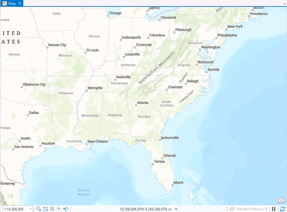
The image below displays the map in ArcGIS Pro before creating the features.
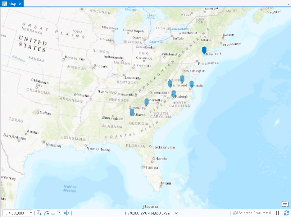
The image below displays the distorted map in ArcGIS Pro after creating the features.
Cause
The coordinate system of the added feature layer in the project is different from the coordinate system of the basemap. This is due to some inevitable distortion that comes with transposing a curved surface to a flat surface. Some projections preserve certain properties of a layer, such as the shape, distance, area, or direction. Esri recommends adopting similar coordinate system definitions among the layers to avoid inaccuracies from misaligned data.
Solution or Workaround
Specify the same coordinate system of the newly added feature layer with the coordinate system of the basemap. Refer to ArcGIS Pro: Specify the coordinate systems of maps and scenes to do this.
Article ID: 000025384
- ArcGIS Pro 2 8 x
- ArcGIS Pro 2 7 x
- ArcGIS Pro 2 x
Get support with AI
Resolve your issue quickly with the Esri Support AI Chatbot.


Related Information
Discover more on this topic
Search for related information
Find training related to this topic
Explore ideas and give feedback
Get help from ArcGIS experts
Start chatting now