HOW TO
Drape a basemap over LiDAR data in ArcGIS Pro scene layer
Summary
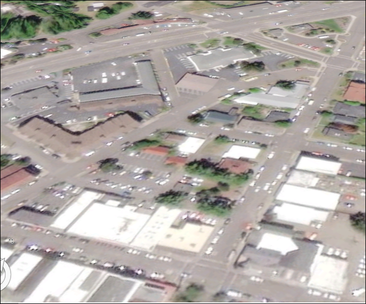
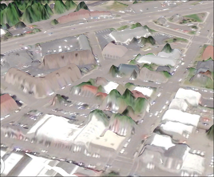
Draping a basemap over LiDAR data (LAS) in a 3D scene makes the map look more realistic as LAS data make high-quality elevation models. The LAS data must be converted either to a digital elevation model (DEM) or a digital surface model (DSM) before draping the basemap.
Procedure
The instructions provided describe how to convert LAS data to a DEM or DSM. In this example, the Imagery basemap is used.
- Create a LAS dataset from the LAS data.
- In the Contents pane, right-click the LAS dataset created, and select Properties.
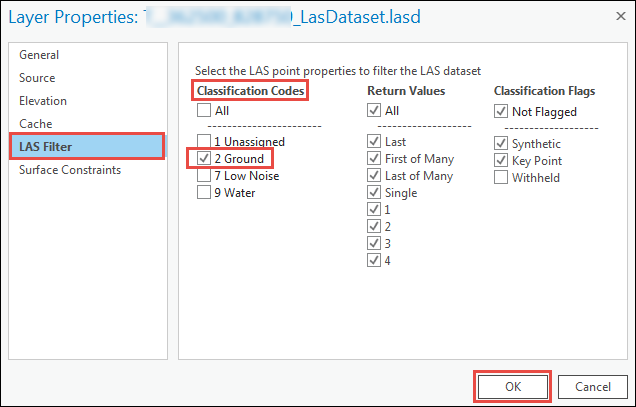
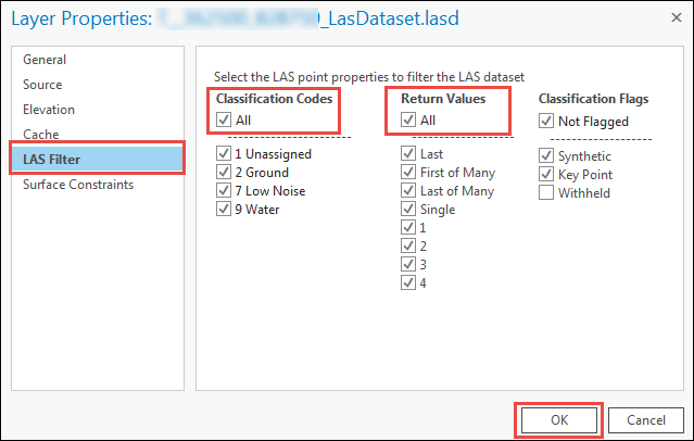
- In the Layer Properties dialog box, click the LAS Filter section, and select one of the following options:
- To convert to DEM, check the 2 Ground box under the Classification Codes section.
- To convert to DSM, check the All box under the Classification Codes and Return Values section.
- To convert to DEM, check the 2 Ground box under the Classification Codes section.
- Click OK to close the Layer Properties dialog box.
- In the Data tab, click the Export icon in the Management group and click Raster to open the LAS Dataset To Raster tool.
- For Input LAS Dataset, select the LAS dataset created.
- Set a name and location for the Output Raster.
- Make sure the Value Field is set to Elevation.
- Click Run to execute the tool.
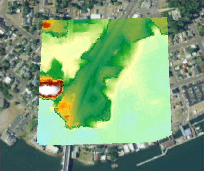
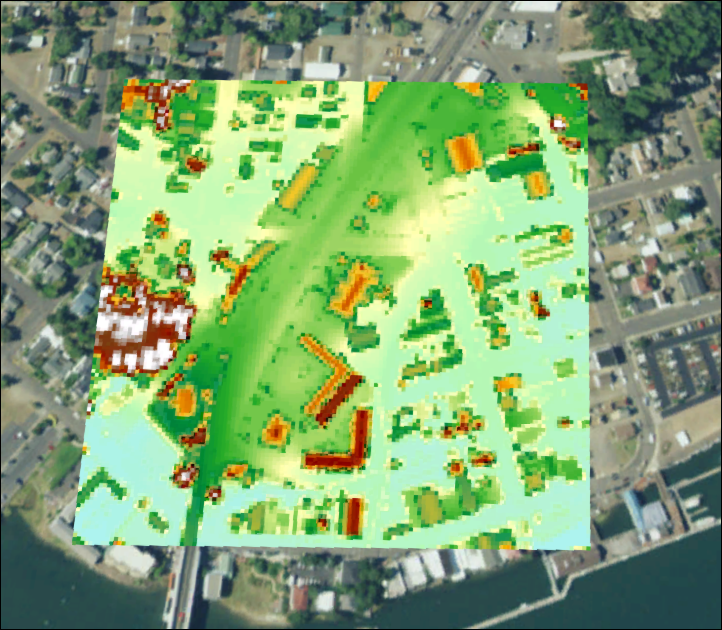
- To drape the Imagery basemap over the LAS dataset, add either the created DEM or DSM as the elevation source to the elevation surface. For more information, refer to ArcGIS Pro: Custom elevations surface.
Article ID: 000019199
- ArcGIS Pro
Get support with AI
Resolve your issue quickly with the Esri Support AI Chatbot.


Related Information
Discover more on this topic
Search for related information
Find training related to this topic
Explore ideas and give feedback
Get help from ArcGIS experts
Start chatting now