Frequently asked question
What is the unit of measurement used by the Shape_Length field in attribute tables?
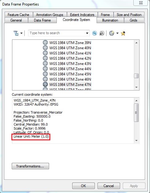
The unit of measurement used by the Shape_Length field in attribute tables varies, as it is subject to the selected coordinate system. Some coordinate systems use angular units of measurement, while some use linear units of measurement. Angular units of measurement use degrees, while linear units of measurement use meters or feet. For example, the unit of measurement for Geographic Coordinate Systems is angular, while Projected Coordinate Systems use linear units of measurement. While selecting a coordinate system, the unit of measurement type is displayed. For more information on specifying a coordinate system, and selecting the unit of measurement types, refer to ArcGIS Help: Specifying a coordinate system.
By default, the Shape_Length field is automatically populated, as it is a system-generated and -managed field. Inaccurate conversions of the Shape_Length field can occur when attempting to change an existing coordinate system to one that uses a different unit of measurement.
To obtain the length of a selected feature, use the Calculate Geometry tool. For more information on how to use the Calculate Geometry tool, refer to ArcGIS Help: Calculating area, length, and other geometric properties.
Article ID: 000012873
- ArcMap
Get support with AI
Resolve your issue quickly with the Esri Support AI Chatbot.


Related Information
Discover more on this topic
Search for related information
Find training related to this topic
Explore ideas and give feedback
Get help from ArcGIS experts
Start chatting now