ERROR
OnShutdown: COM object that has been separated from its underlying RCW cannot be used
Error Message
In some instances, when closing ArcMap, the following error message returns:
Error:
"OnShutdown: COM object that has been separated from its underlying RCW cannot be used."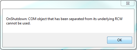
Cause
- ArcGIS for Desktop is referencing a previous version of an add-in. Add-ins are not backward compatible. For example, add-ins targeting ArcGIS for Desktop 10.3 do not work with earlier versions of ArcGIS for Desktop.
- Third-party extensions are installed on ArcGIS for Desktop. Even though third-party extensions can be installed on ArcGIS for Desktop, Esri does not support some extensions (thus, an error returns).
Solution or Workaround
- Remove older versions of add-ins.
- Navigate to C:\Users\<USERNAME>\Documents\ArcGIS\AddIns\Desktop10.x.
Note:
Desktop10.x is used as a placeholder for versions of ArcGIS for Desktop. Replace the x in Desktop10.x according to the version installed on the target machine.
- Move all ArcGIS for Desktop folders older than the current version installed from the current location to another location on the computer.
- Open and close ArcMap to test if the error message persists.
Note:
If the error message does not return, the folders that were moved can be deleted. However, if the error message persists, move the folders back to the original location.
- Uninstall the problematic third-party extensions.
Third-party extensions can be removed via Add/Remove programs (for Windows users only) or by using the Component Category Manager. The following Esri Technical Support document provides instructions on how to remove unwanted third-party extensions: How to: Uninstall 3rd Party Extensions.
Article ID: 000014936
Software:
- ArcMap
Get support with AI
Resolve your issue quickly with the Esri Support AI Chatbot.


Related Information
Discover more on this topic
Search for related information
Find training related to this topic
Explore ideas and give feedback
Get help from ArcGIS experts
Start chatting now