A to Z GIS | Explore this related guide, featuring updated terms and graphics and developed in coordination with Esri’s GIS Dictionary team.
Learn more about A to Z GIS
GIS Dictionary
Browse dictionary
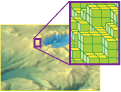
voxel
URL copiedShare URL
[map design, data architecture]
A three-dimensional cube—essentially the counterpart to a pixel—used to display and rotate three-dimensional images. Typically represents a specific cell value in three-dimensional space.