A to Z GIS | Explore this related guide, featuring updated terms and graphics and developed in coordination with Esri’s GIS Dictionary team.
Learn more about A to Z GIS
GIS Dictionary
Browse dictionary
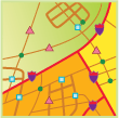
planimetric map
URL copiedShare URL
[thematic mapping]
A map that displays only the x,y locations of features, representing the horizontal positions and not the vertical (height or depth) dimensions.