HOW TO
Konvertieren von CAD-Daten in GIS-Daten in ArcGIS Pro
Zusammenfassung
CAD data can be added to ArcGIS Pro as a feature layer. The resulting CAD feature dataset is a read-only feature layer when CAD data is added to a map. When a CAD feature dataset is added to a map, a group layer is created. In CAD software, CAD layers are used to organize data and control visibility as well as the default symbolic properties of entities in the drawing.
The instructions provided describe how to use the CAD To Geodatabase tool in ArcGIS Pro to convert CAD data to GIS data. In this example, the Bldg1_L1.dwg CAD data file is converted to GIS data in ArcGIS Pro.
Vorgehensweise
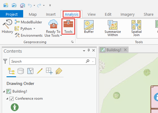
- Start ArcGIS Pro and open a project.
- On the ArcGIS Pro ribbon, click Analysis > Tools to open the Geoprocessing pane.
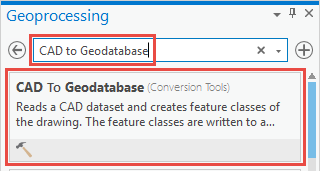
- In the Geoprocessing pane, search for and select CAD To Geodatabase (Conversion Tools).
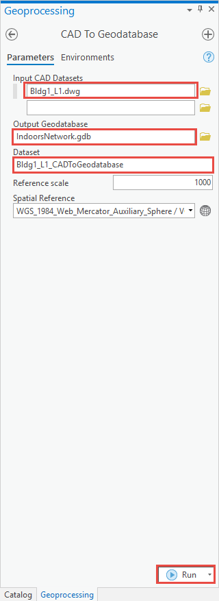
- In the CAD To Geodatabase pane, configure the following parameters.
- For Input CAD Datasets, select the collection of CAD files.
- For Output Geodatabase, select the output file's location in the geodatabase.
- For Dataset, specify the name of the feature dataset.
Note:
Refer to ArcGIS Pro: CAD To Geodatabase (Conversion) for further information on the parameters in the CAD To Geodatabase pane.
- Click Run.
Artikel-ID: 000026432
Holen Sie sich Unterstützung mit KI
Lösen Sie Ihr Problem schnell mit dem Esri Support AI Chatbot.


Zugehörige Informationen
Weitere Informationen zu diesem Thema erkunden
Search for related information
Find training related to this topic
Explore ideas and give feedback
Unterstützung durch ArcGIS-Experten anfordern
Beginnen Sie jetzt mit dem Chatten